
Unmanned Aerial System (UAS) – Drone Surveying & Mapping
|
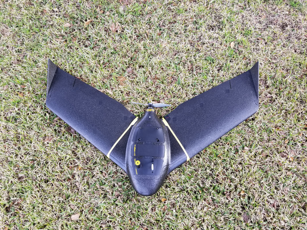
Triad Surveying began performing UAS Surveying & Mapping in 2018 after Brad Lipscomb obtained his FAA Remote Pilot License (Certificate Number 4123278) and we currently utilize a Sensefly Ebee X drone (professional grade, airplane style, RTK UAS).
We are routinely able to complete flights of properties exceeding 1500 Acres in a single day! The imagery the UAS obtains allows us (after processing) to produce a number of deliverables including, but not limited to:
|
|